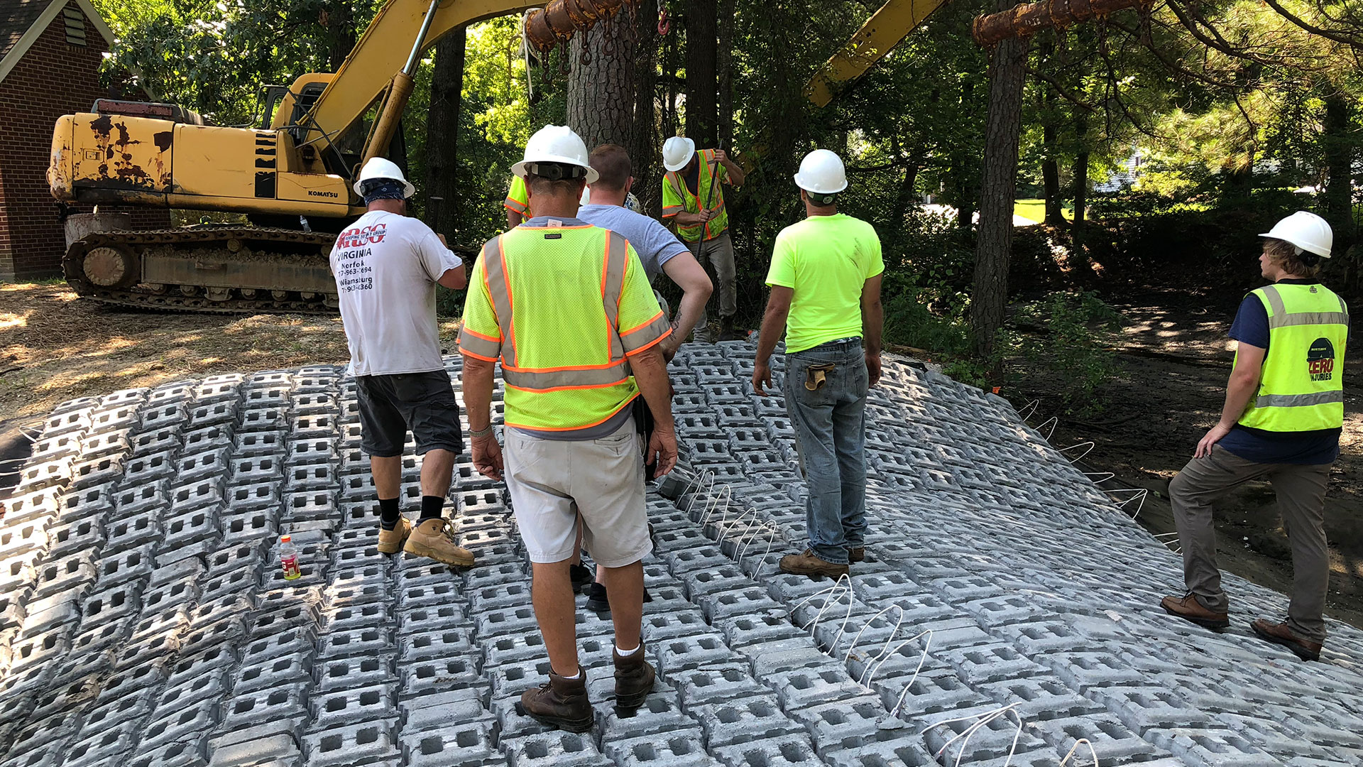
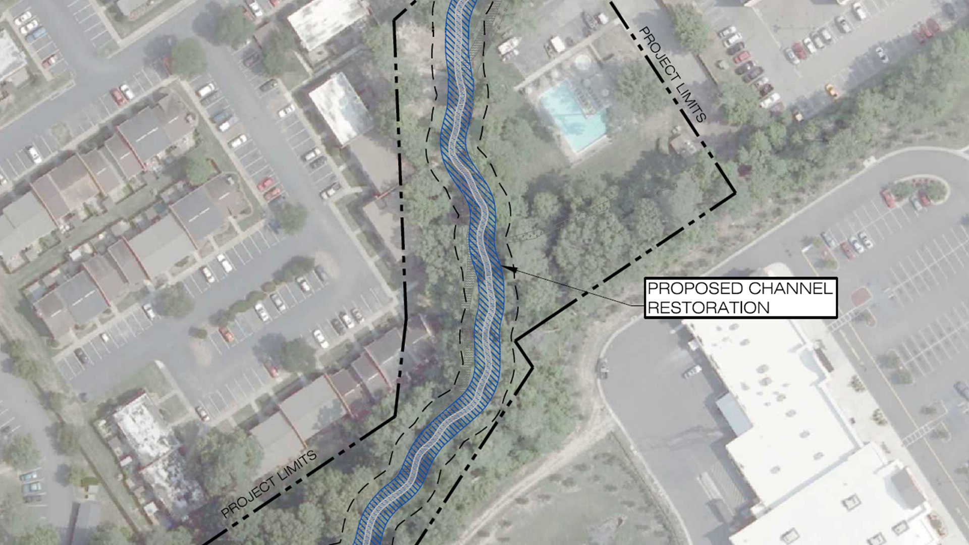
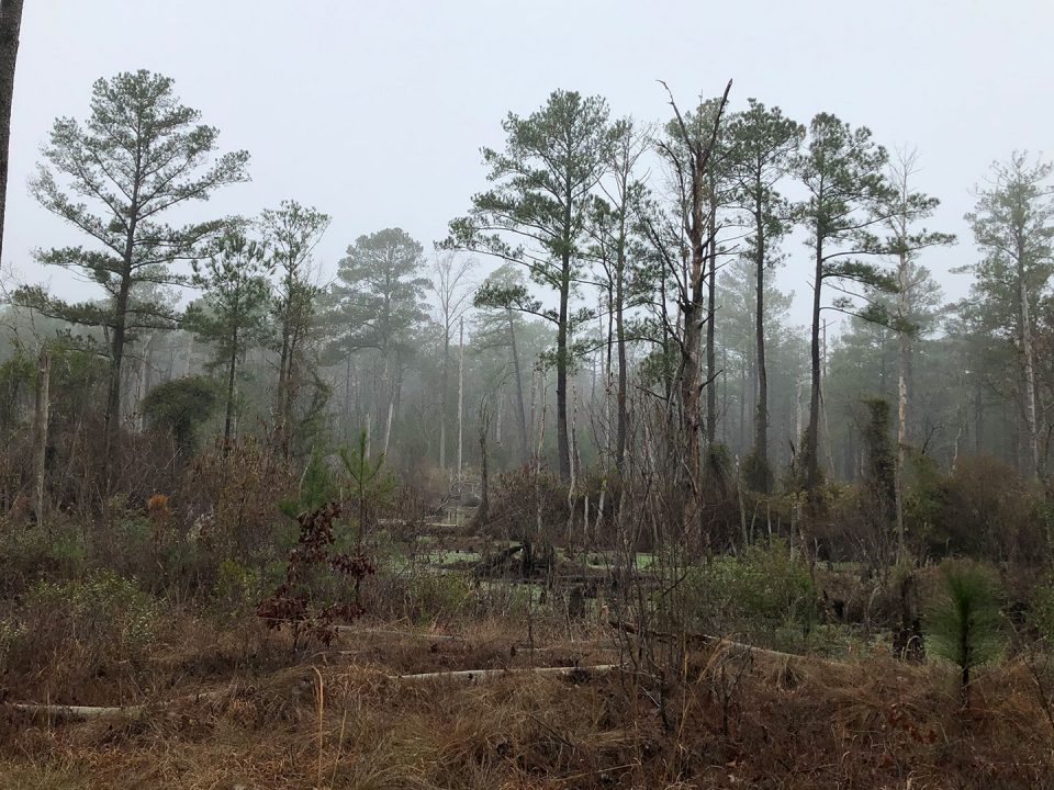
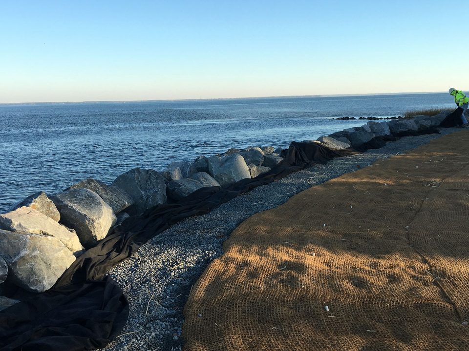
The Shenandoah valley is home to productive trout streams nested within the valley and ridge topography. Historic land management practices have contributed to stream erosion on rural properties that offers opportunities for stream and ecosystem restoration. By identifying, assessing, and restoring stream channels, sediment and nutrient loads are reduced prior to reaching the Chesapeake Bay, contributing to the goals and objectives of the Chesapeake Bay TMDL.
BCE provided six (6) miles of stream assessment including Bank Erodibility Hazard Index (BEHI), Near Bank Stress (NBS) evaluations and nutrient credit calculations using BANCS Methodology. Assessment was completed in accordance with the EPA’s expert panel recommendations and current protocol guidance.
BCE provided field reviews and calculations, including preliminary evaluation of watershed conditions a stream/valley type. In coordination with RES, BCE provided GIS based inventories and field scoring for efficient data logging and produced field graphics accompanying results.
Highlighted Tasks
- Site Assessment
- Stream Assessment
- Watershed Review
- Data Collection
- GIS Mapping
- Field Coordination
- High Performance Team Production

